Green is the Warmest Colour

Project Overview

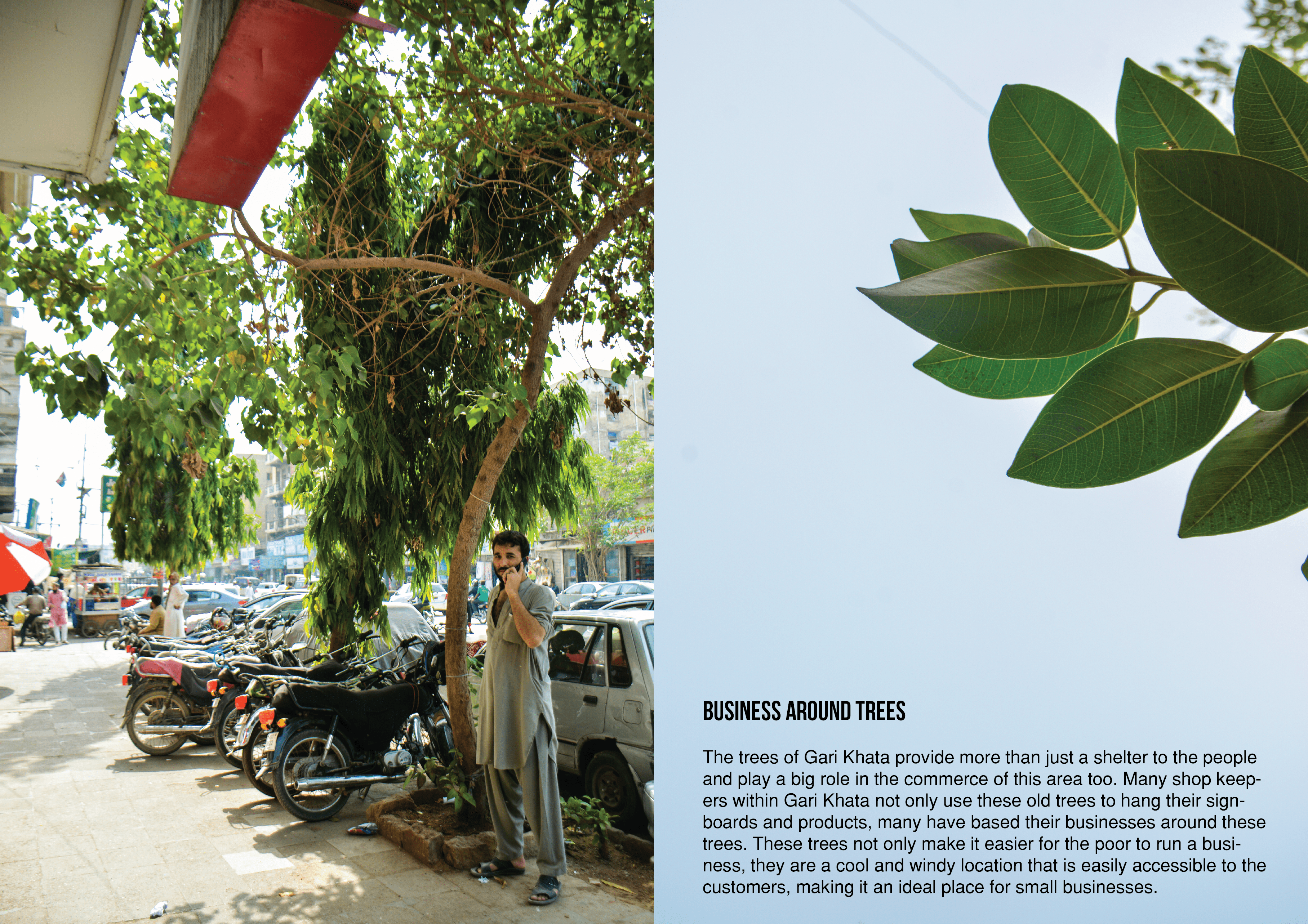
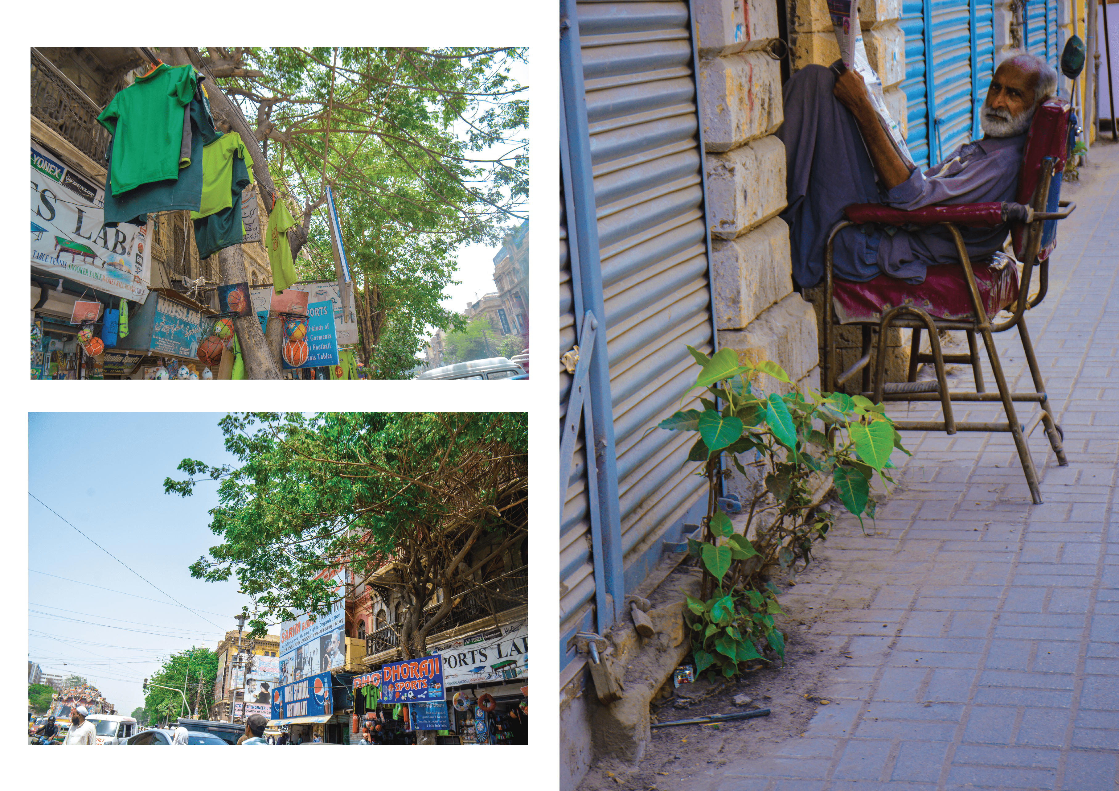
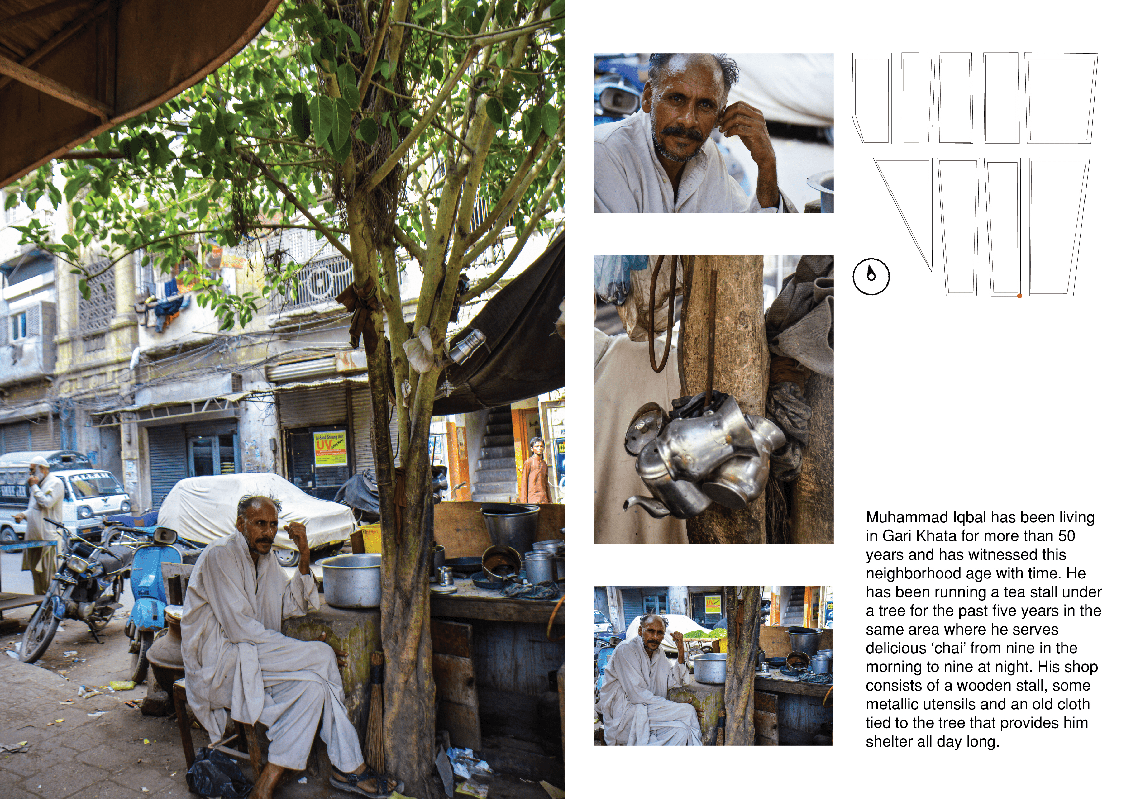
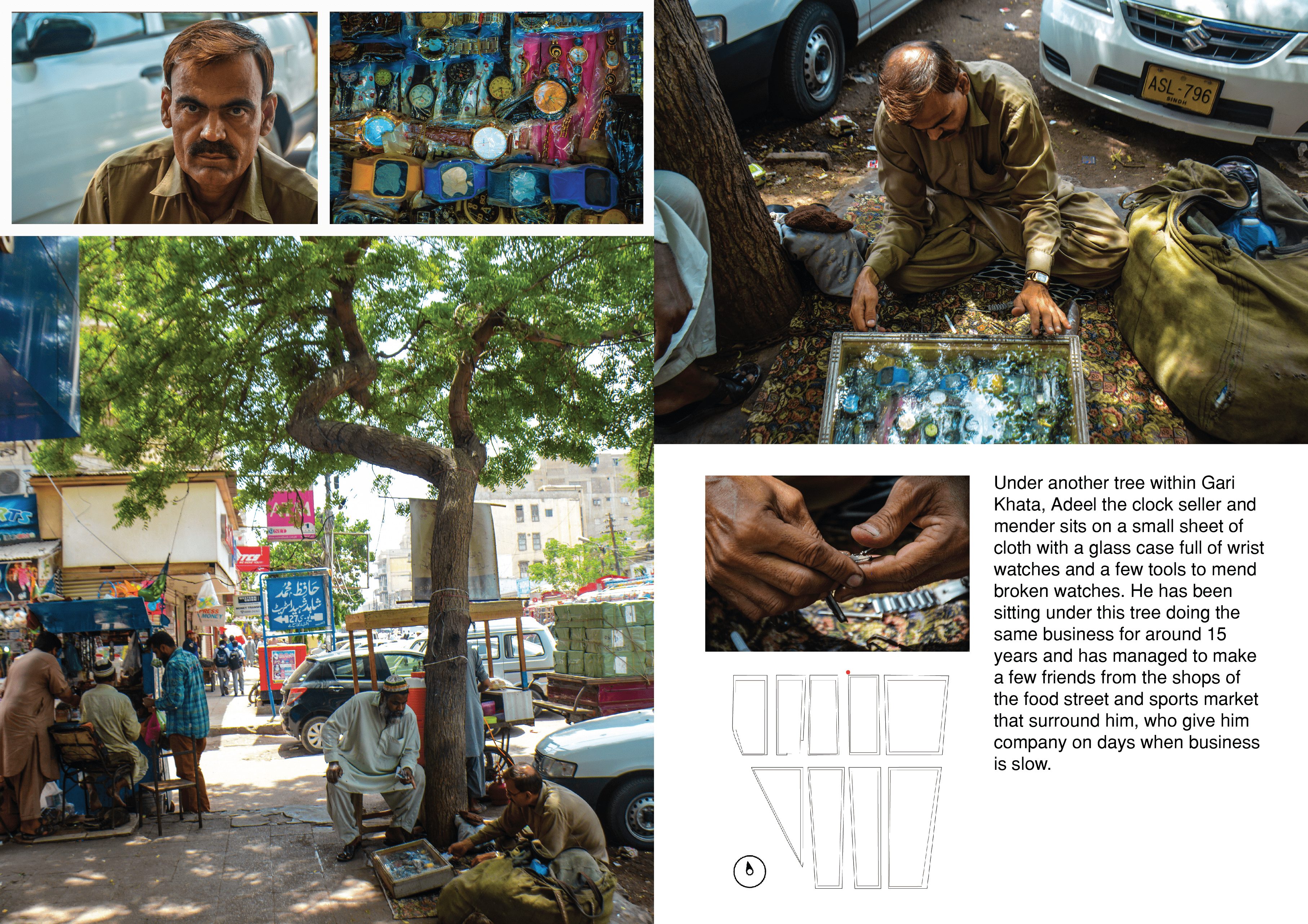
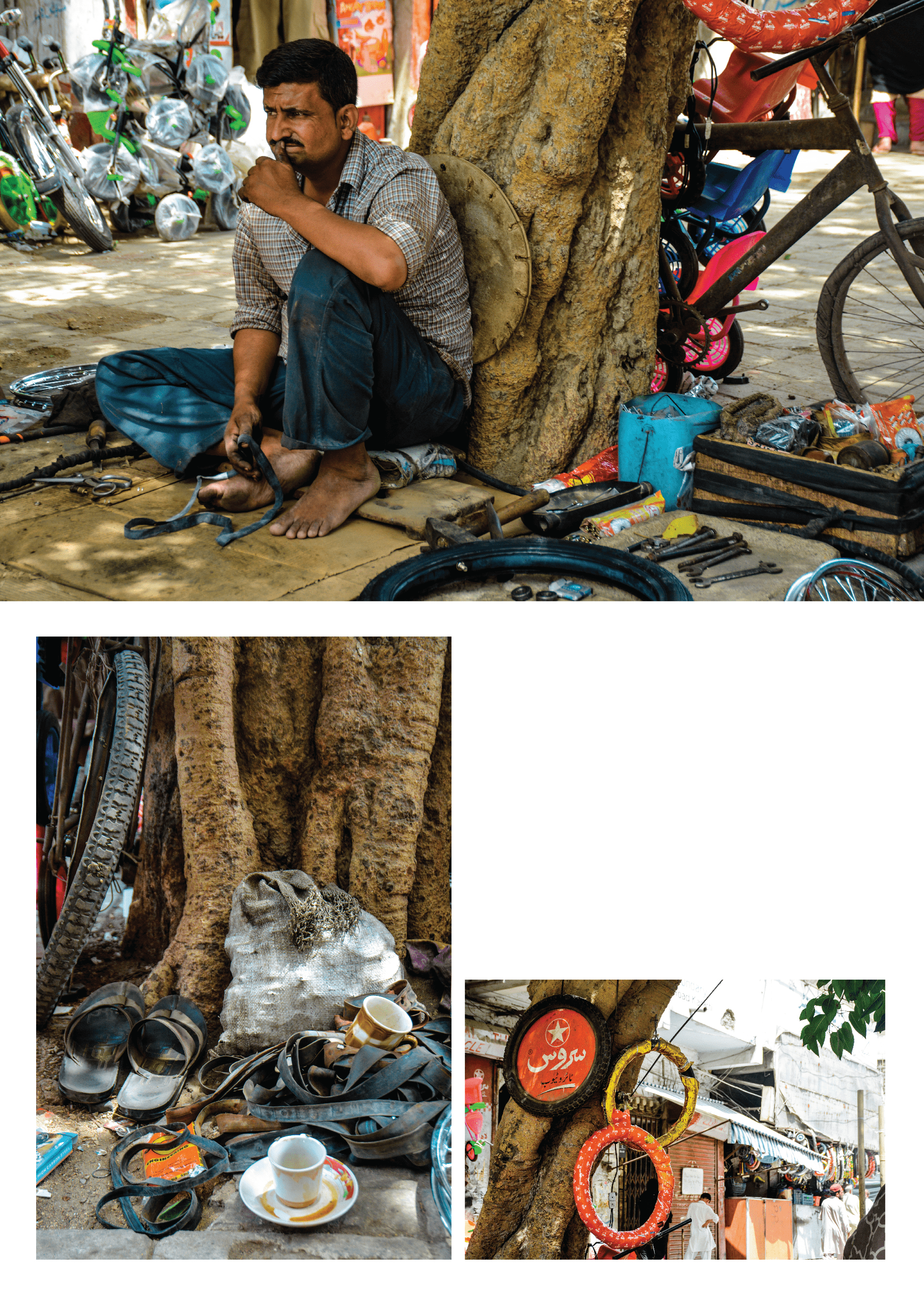
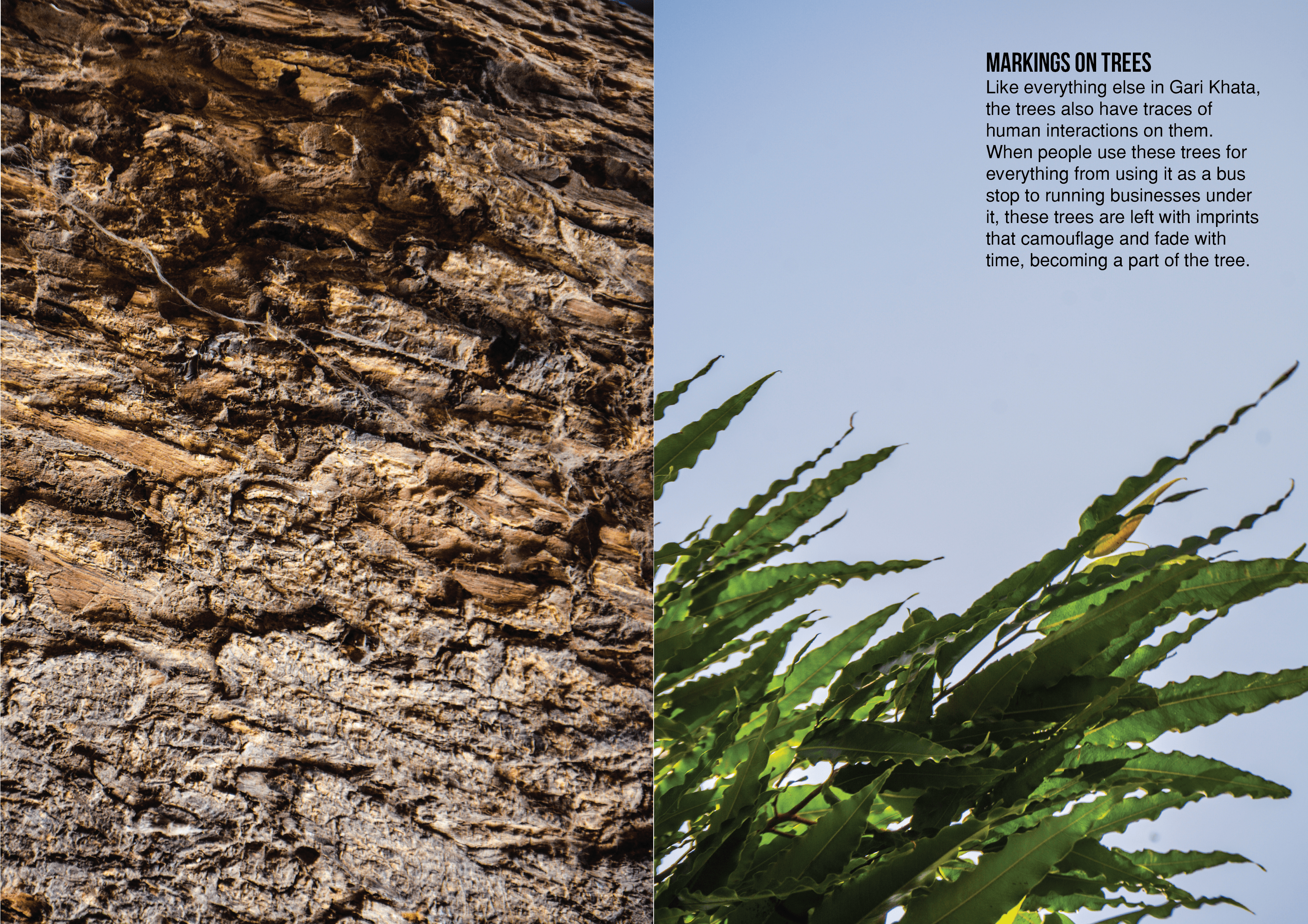
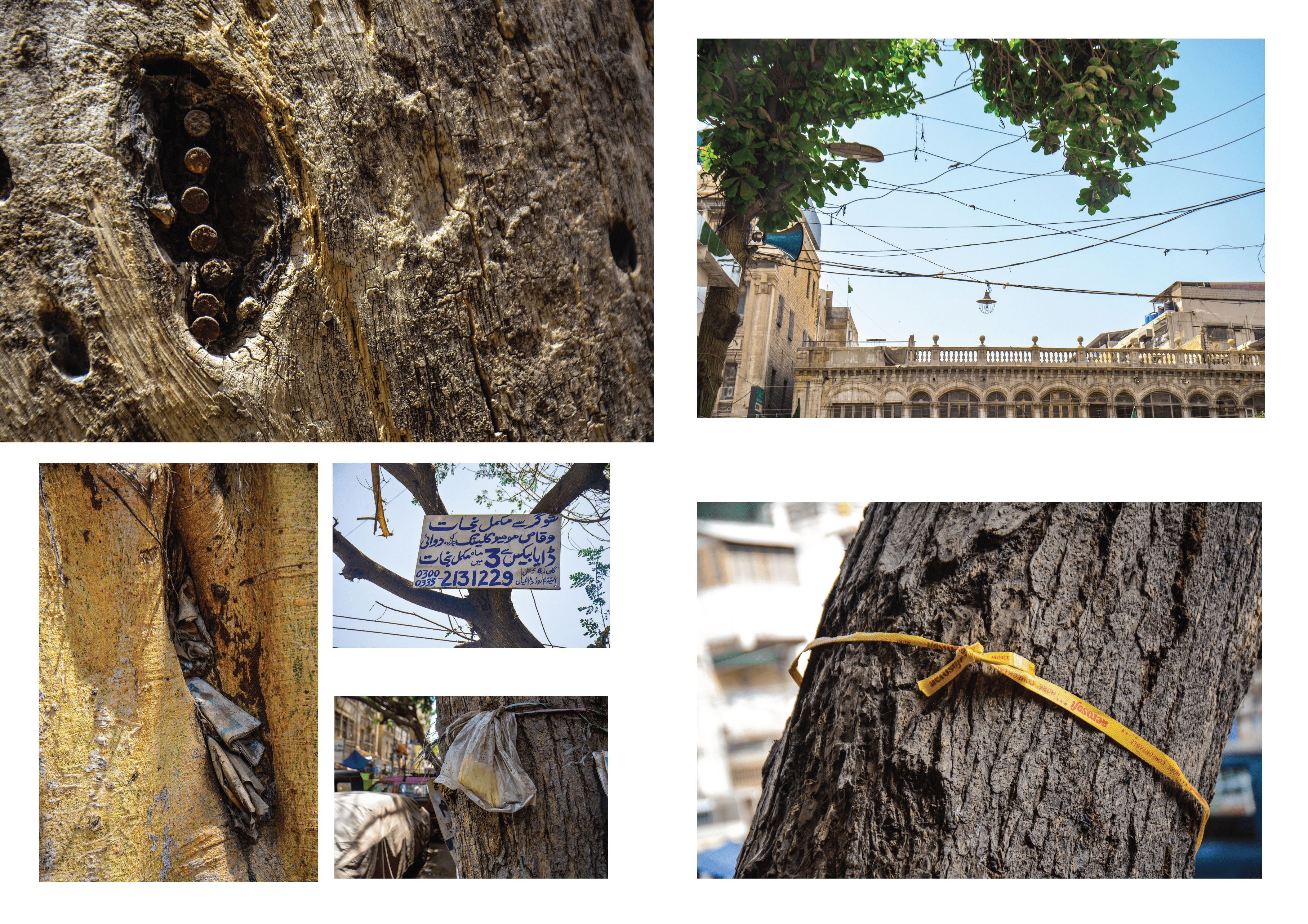
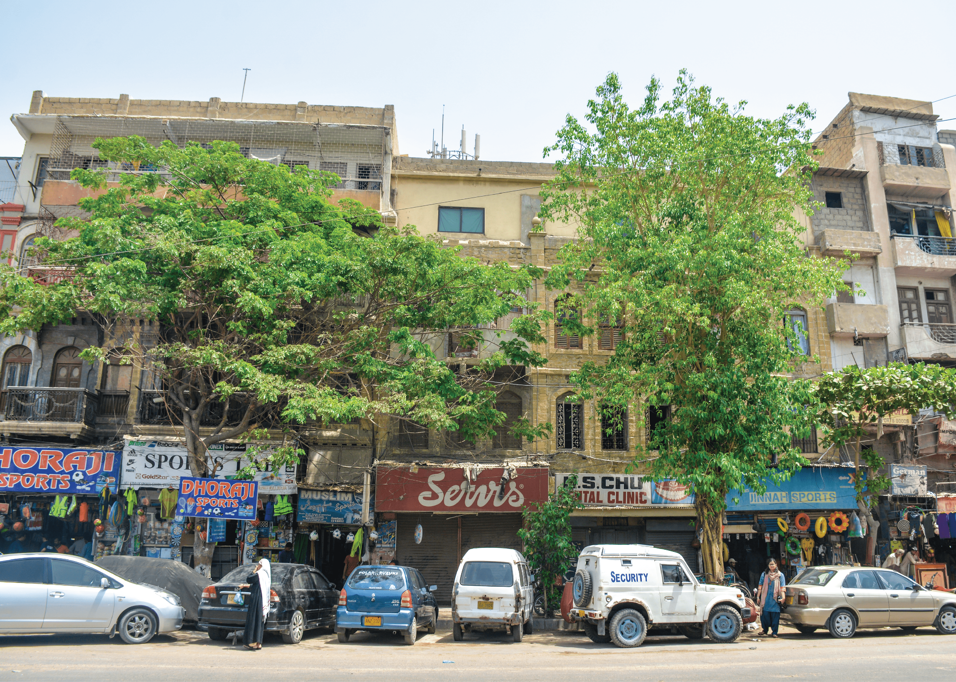
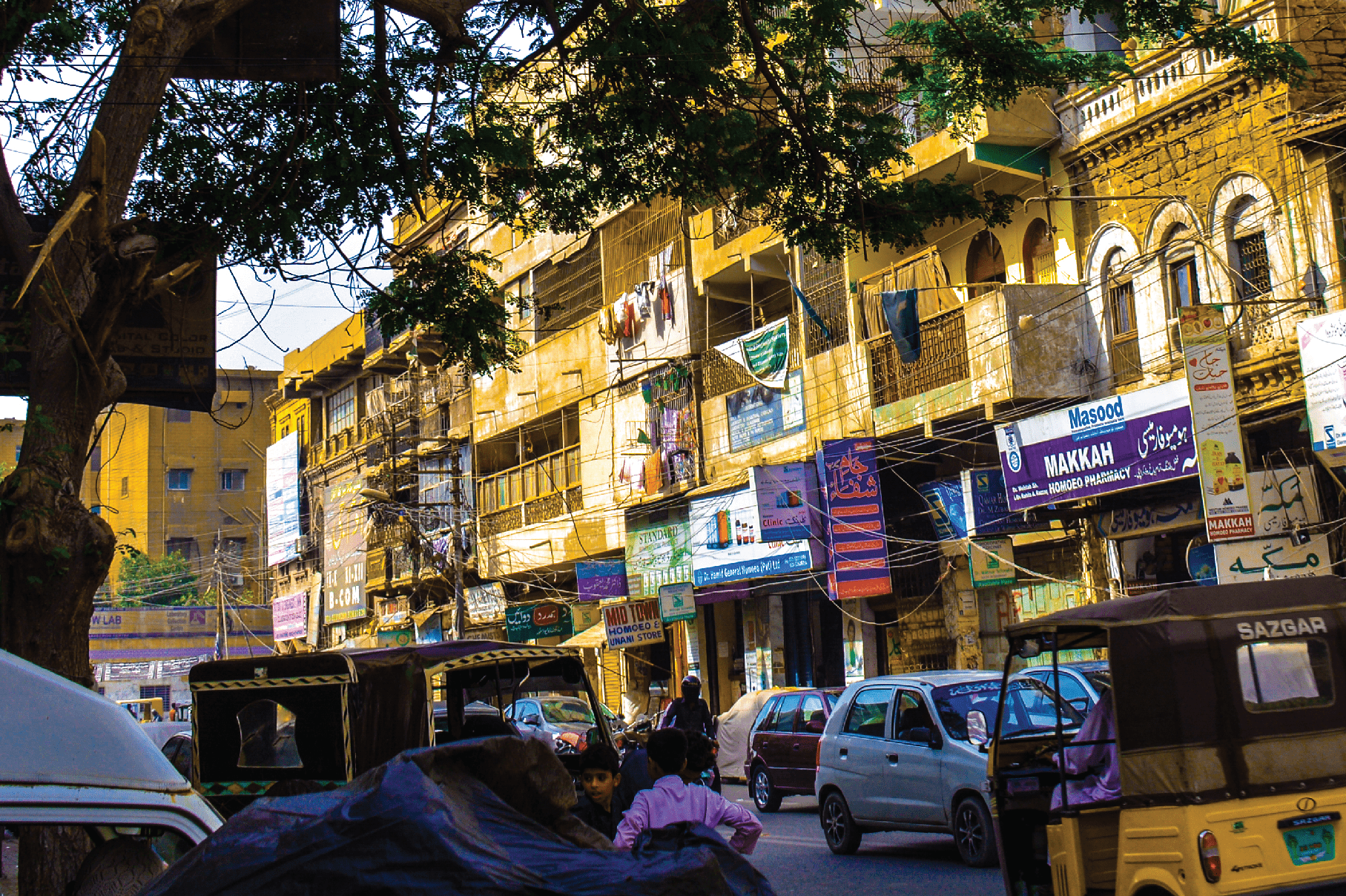
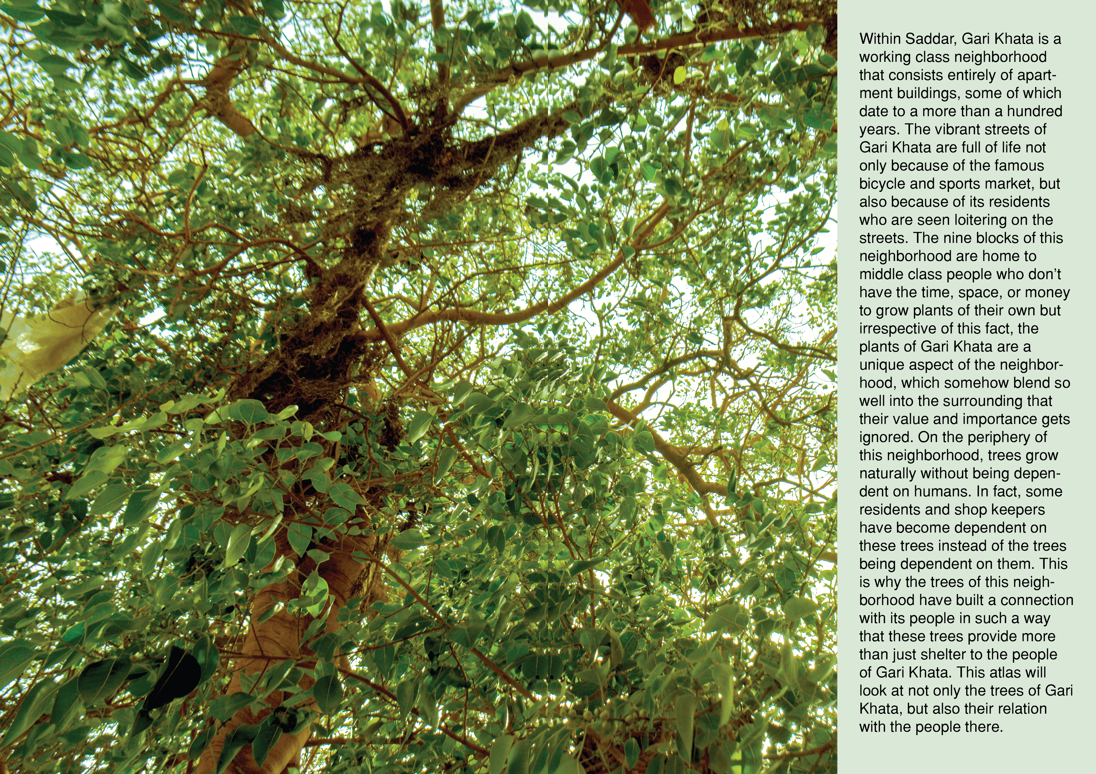
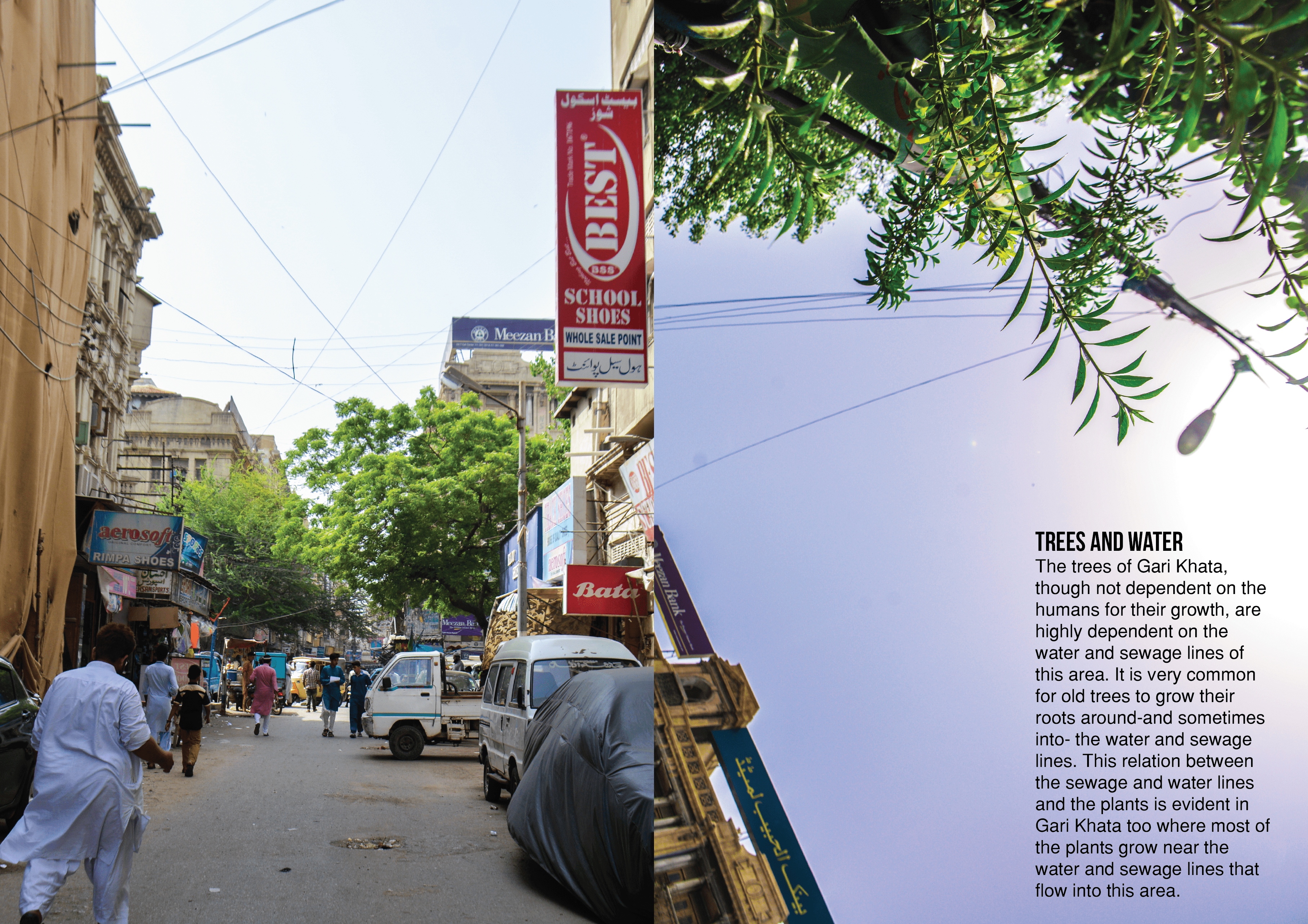
The Tree Atlas of Gari Khata is a detailed cartographic study focusing on the trees of Gari Khata, a small and very old neighborhood within Saddar, Karachi. This project was undertaken as the final project for an undergraduate course in Cartography. The atlas documents the intricate relationship between the residents of Gari Khata and the neighborhood’s trees.

Tools Used

  • Cartography Tools: Created detailed maps to visualize the neighborhood, its trees, its sewage and water lines.
  • Field Visits: Collected firsthand data and photographs on trees within Gari Khata.
  • Interviews: Gathered stories and insights from the residents and business owners.
  • Adobe Suite: Designed a final booklet, detailing the greenery within an old neighborhood of the city.
  • Process

  • Spent two months in Gari Khata mapping the neighborhood, including block lines, plot lines, sidewalks, building heights, gas lines, water lines, and sewage lines.
  • Interacted with local residents to gain insights into the area’s dynamics and issues.
  • Selected the theme of the relationship between the neighborhood’s trees and its residents as the focus of the atlas.
  • Compiled the gathered data into a comprehensive atlas that highlights this unique relationship.
  • Outcome

    The final product was a detailed atlas documenting the symbiotic relationship between the human residents and the trees of Gari Khata, providing valuable insights into urban greenery and community dynamics.
    Project information

    • Location Karachi, Pakistan
    • Timeline Spring 2017
    • Team Size Individual Project
    • My Role Cartographer and Researcher
    • Company Academic Project